New equatorial radar commissioned in Nigeria with the help of Virginia Tech space researchers
Virginia Tech is planting roots in Nigeria that will take researchers to new heights–literally.
Professor Wayne Scales of the Bradley Department of Electrical and Computer Engineering recently visited Nigeria as part of a collaborative project between the Virginia Tech SuperDarn HF radar group, the U.S. Air Force Research Laboratory, Bowen University, and the Nigerian National Space Research and Development Agency (NASRDA).
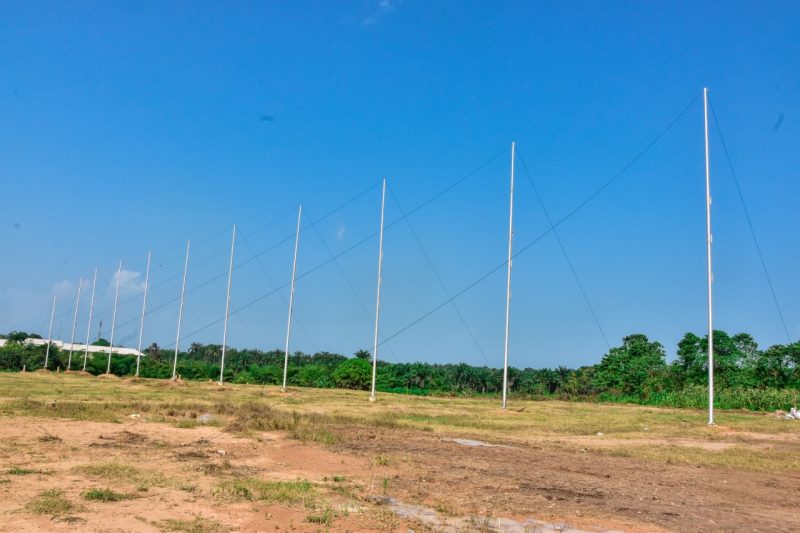
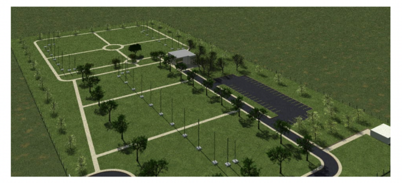
The project came to fruition on November 4 with the inauguration of the Virginia Tech Nigerian Bowen Equatorial Aeronomy Radar (VT-NigerBear). This radar is the first high frequency (HF) space weather radar on the entire continent of Africa and is the first in the world to be situated on the equator.
Since 2005, operation of mid-latitude SuperDARN radars began at the National Aeronautics and Space Administration (NASA) Flight Facility on Wallops Island, Virginia, USA. These HF radars provide insights into the Earth’s upper atmosphere and even help predict space weather phenomena that could, in turn, impact ocean going vessels, aircraft, global broadcast communications and short wave radio communication.
SuperDARN radars use high frequency signals to detect irregularities in the ionosphere, which then allows remedial action to be taken if necessary. While there are currently 21 mid-latitude SuperDARN radars located across the globe, there were no low latitude or equatorial radars–until now. Irregularities in the ionosphere are also found at lower latitudes; therefore, VT-NigerBear will be the first of its kind to take this new information and make sense of it.
“This new radar will allow us to observe space weather phenomena in the equatorial ionosphere,” said Scales.
The Vice President of Nigeria Yemi Osinbajo was in attendance at the commissioning ceremony (among other dignitaries) and noted the importance of technology like this new radar. VT-NigerBear will also likely have impacts on communications, infrastructure, research, commerce, and more.
Offshore oil exploration activities, naval support based on information about ocean wave heights and surface currents, as well as impacts on operations like radio and satellite communications, oil pipelines and power grids are just a few other applications of how data can be used from this low-latitude radar.
Scales serves as the PI on the Virginia Tech side along with professors J. Michael Ruohoniemi, Jo Baker from ECE and Kevin Sterne of the Hume Center for National Security and Technology. The Bowen University PI is Professor O.S. Bolaji.
“The commissioning by Vice President Osinbajo and representation from the highest levels of the government of Nigeria, as well as the Nigerian Space Research and Development Agency and Bowen University leadership at the event–the strong support for this international collaboration was clear,” said Scales. The Nigerian space science community as well as the Bradley Department of ECE space science and engineering research efforts will benefit in the long term from this exciting new research agenda.”
VT NigerBear news coverage